 vesseltracker.com
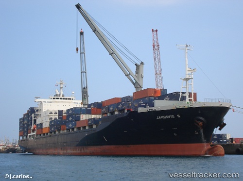
Vessel 636021139 IMO: 9259381, MMSI: 636021139
UTC, 12.65672, 100.53523, course: 350, speed: 15.4
UTC, 13.02667, 100.73023, course: 80, speed: 14.4
2026-02-06 19:25:54 UTC, 13.05452, 100.89847, course: 74, speed: 0.2
Live AIS position:
UTC. Near Tips Container Terminal),
updated 2026-02-06 19:25:54 UTC.
Find the position of the vessel 636021139 on the map. The latter are known coordinates and path.
marine traffic ship tracker show on live map
The current position of vessel 636021139 is 13.05452 lat / 100.89847 lng. Updated: 2026-02-06 19:25:54 UTCDetails:
Last coordinates of the vessel:
UTC, 12.26950, 100.77752, course: 343, speed: 13.3UTC, 12.65672, 100.53523, course: 350, speed: 15.4
UTC, 13.02667, 100.73023, course: 80, speed: 14.4
2026-02-06 19:25:54 UTC, 13.05452, 100.89847, course: 74, speed: 0.2